
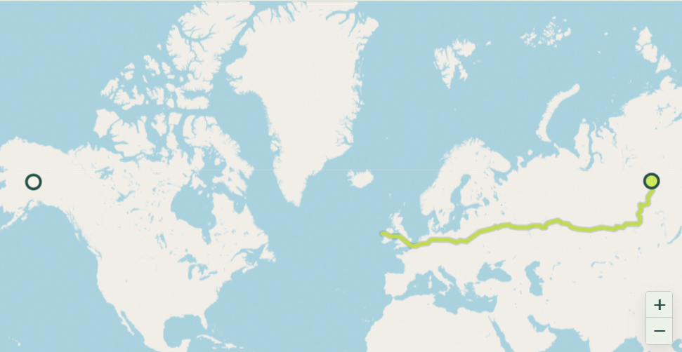
Alaska and Russia are approximately 9,158 km / 5,691 miles / 4,945 nautical miles apart, measured between the two territories’ geographic centers.
Travel Time by Pace
A quick note before these numbers: there is no actual road, bridge, tunnel, or ferry route connecting Alaska to Russia — the Bering Strait separates them by open water. The figures below are mathematical estimates (distance divided by an average travel speed), not a real trip you could take.
- 🚗 Driving: ~141 hours (~5.9 days) — theoretical only; no drivable route exists
- 🚶 Walking: ~1,831 hours (~76 days) — theoretical only
- 🚴 Cycling: ~572 hours (~24 days) — theoretical only
About This Route
Here’s what makes this search genuinely interesting: while the geographic centers of Alaska and Russia sit thousands of miles apart, the two countries actually come remarkably close to touching. In the middle of the Bering Strait sit the Diomede Islands — Little Diomede (Alaska, USA) and Big Diomede (Russia) — separated by just 2.4 miles (3.8 km) of water at their closest point, making this the narrowest gap between the United States and Russia anywhere in the world.
It gets stranger: because the International Date Line runs directly between the two islands, they sit in a 21-hour time difference despite being visible from one another. Big Diomede is nicknamed “Tomorrow Island,” while Little Diomede is “Yesterday Island” — standing on one, you’re quite literally looking a day into the future.
So while the centroid-to-centroid distance above reflects the two territories as a whole, the real story behind “Alaska to Russia” is this tiny, almost-touching gap in the middle of the Bering Strait — no road required to appreciate it.
Want the distance from Alaska or Russia to somewhere else? Try the free Distance Calculator →